 |
||||
Tuesday
3-9-2004
Dr. Stephen
Hildreth
(click on pictures for larger versions)
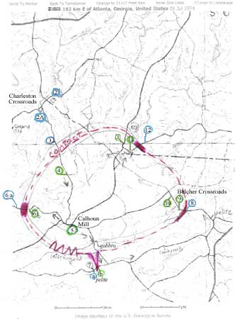
| Mapping
Mt. Carmel Gabbro | |
|
|
Descriptions are keyed to the map. Click the picture at left for a larger version, which will open in a new browser window.
|
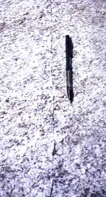 |
Pyroxene vein in the Mount Carmel gabbro (Location 1 on map). |
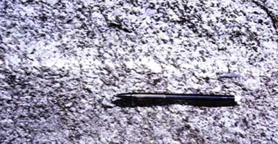 |
Plagioclase vein in the Mount Carmel gabbro (Location 1 on map). |
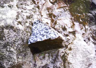 |
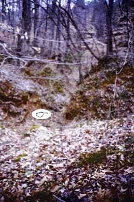
Unweathered gabbro rockface (Location 4 on map). |
|
The Appalachians are rapidly rising at the rate of 1 to 2 mm per year, resulting in more cutting down by rivers. The rising could be due to isostasy caused by the erosion of top layers. |
|
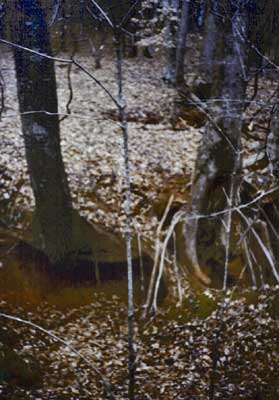 |
Downcutting exposes tree roots. |
 |
Profile of typical youthful streambed is V-shaped. |
Note:
You cant grow lush grass on pyroclastics.
This
is my Field Journal from The
University of South Dakota 2004 ESCI 396 Spring Field Trip:
Southern Appalachian Geology. © 2004 Charlotte S. Marek
Southern Appalachian Geology. © 2004 Charlotte S. Marek